
Drone Topographic Data in South LA
05.30.23 / Uncategorized
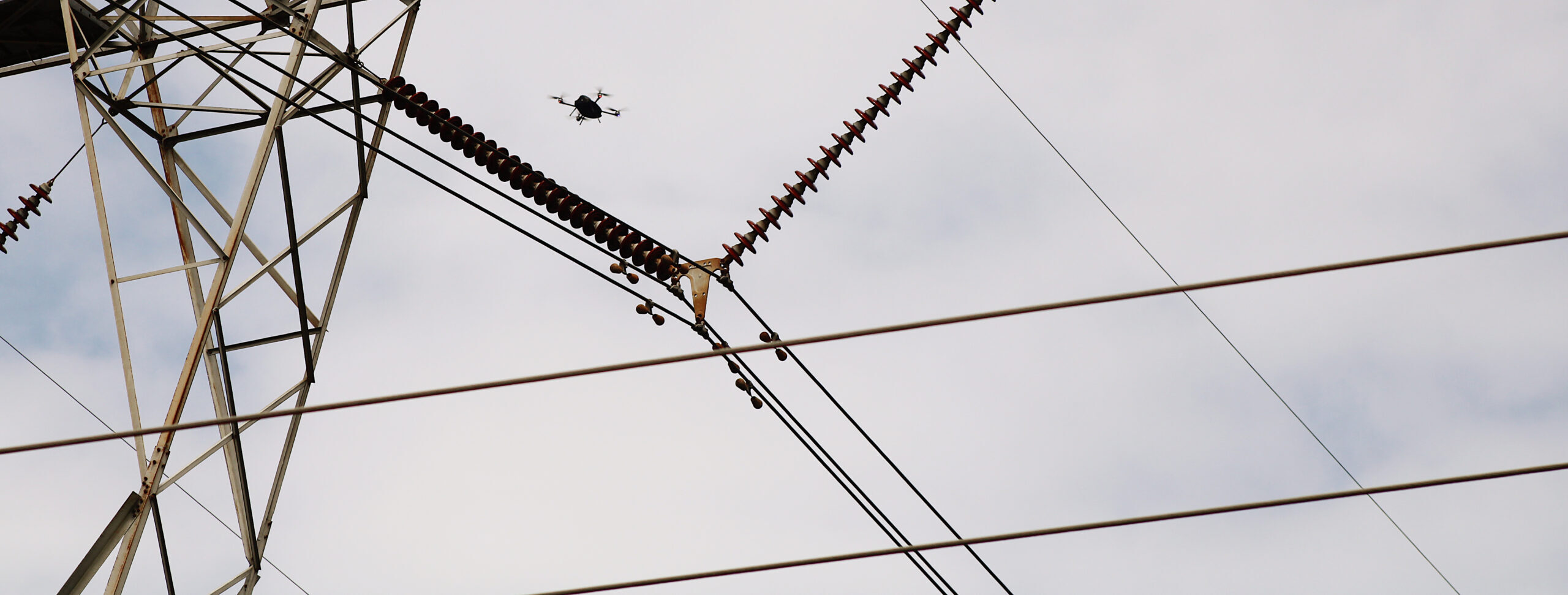
We had some beautiful days back in January to use our drone to capture topographic data in South Louisiana. Our remote sensing guys were able to fly 16 acres of this particular project and will be able to produce data with a +/- 0.05’ accuracy. It’s good to have ‘another tool in the toolbox’ for our Survey Department. #drone #keepflying #toolbox #civildesignandconstruction