
service \\ LAND SURVEYING

LAND SURVEYING SERVICES
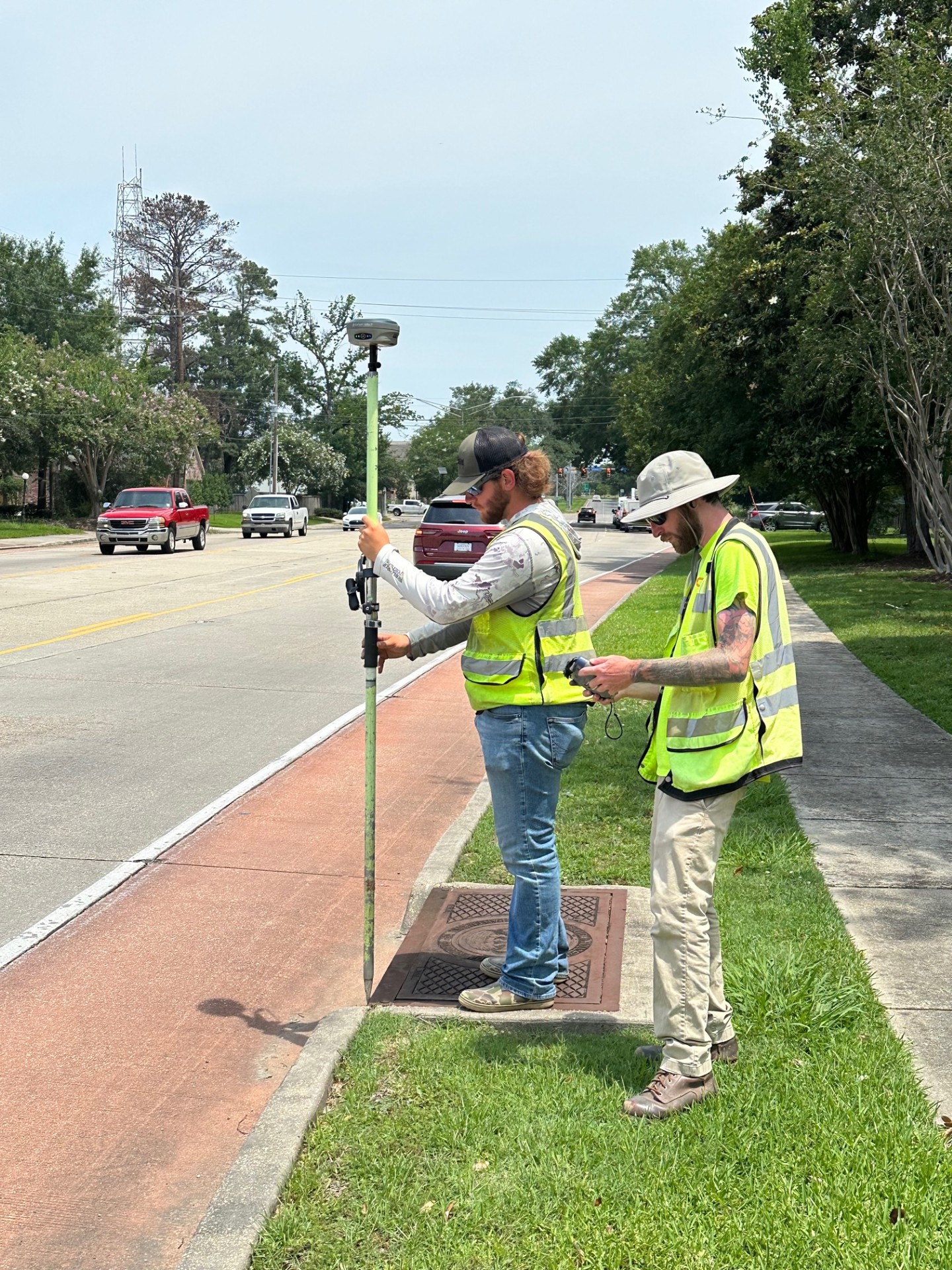
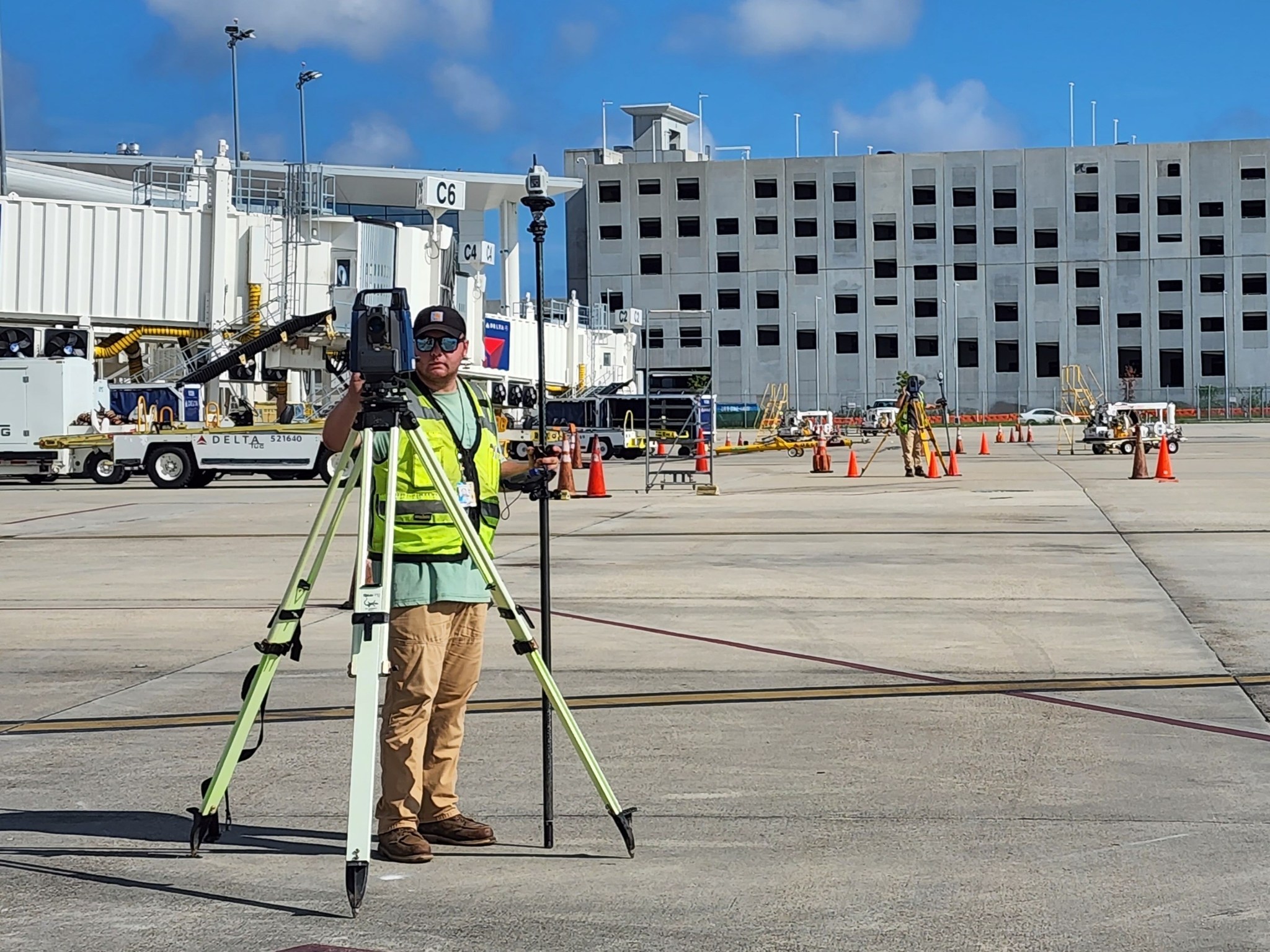
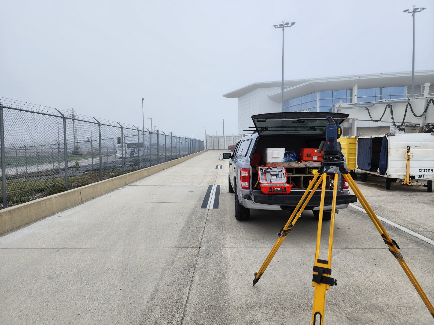
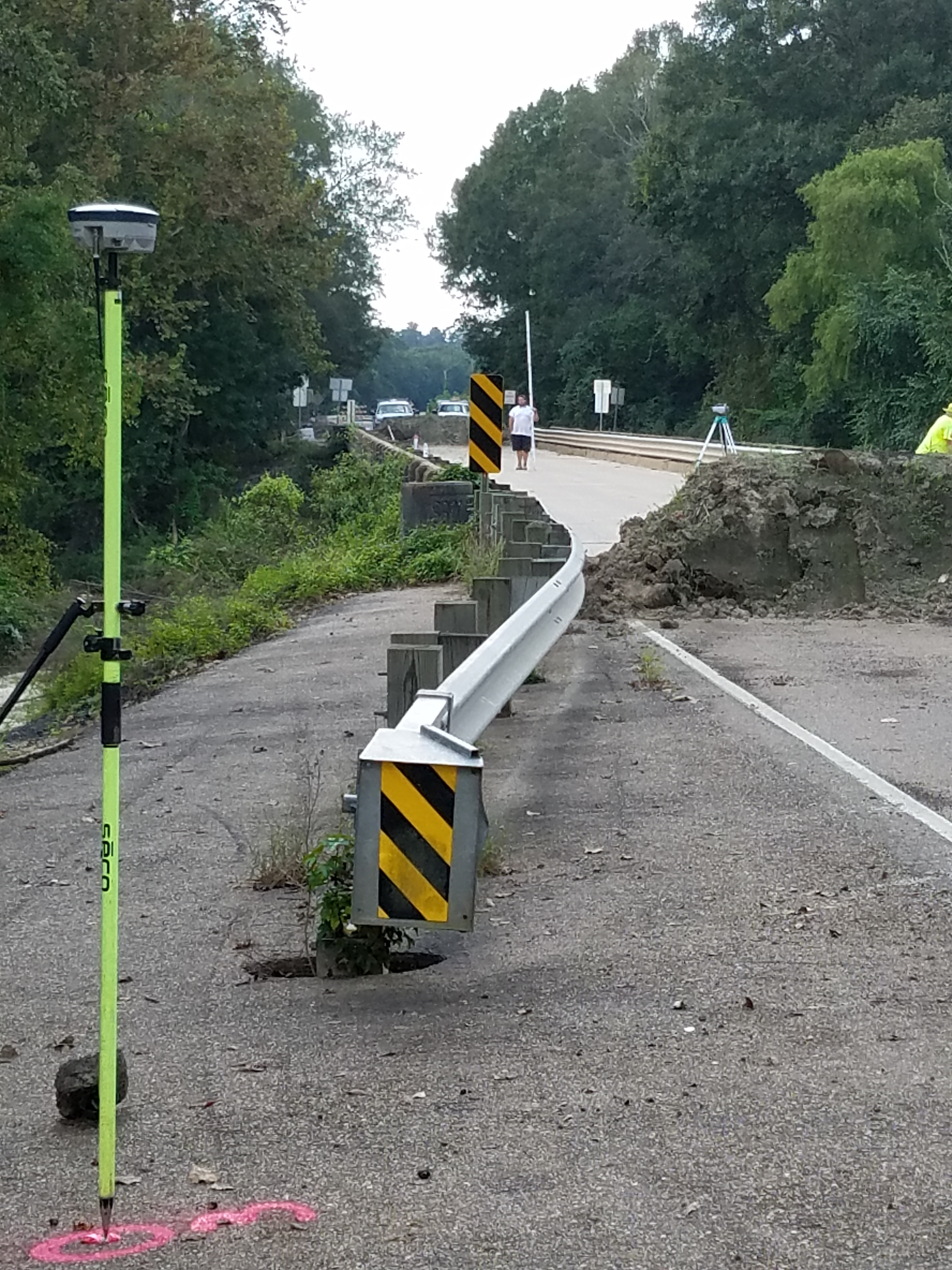
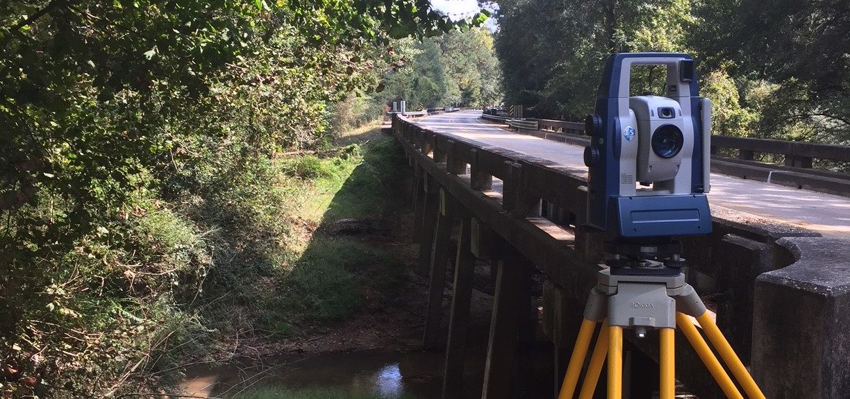
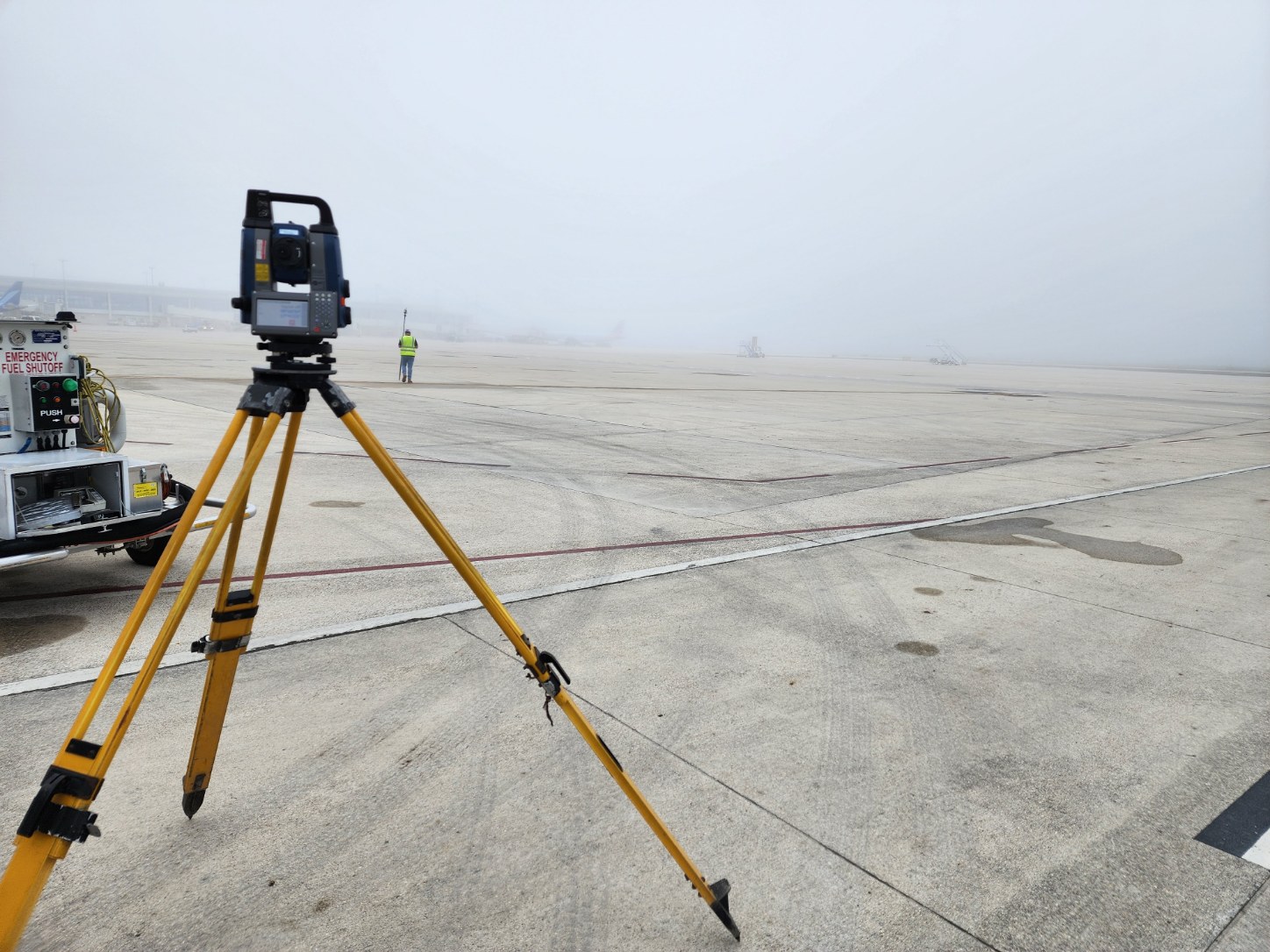
Our Land Surveying services include both Boundary and Topography services for many governmental clients including USACE, LADOTD, Louis Armstrong New Orleans International Airport , Baton Rouge Metro Airport, and numerous Parish & Municipal governments such as East Baton Rouge, West Baton Rouge, Pointe Coupee, Iberville, Livingston, St. Tammany, and Orleans to name a few. We also work with a variety of private developers, architects, individuals, and construction companies.
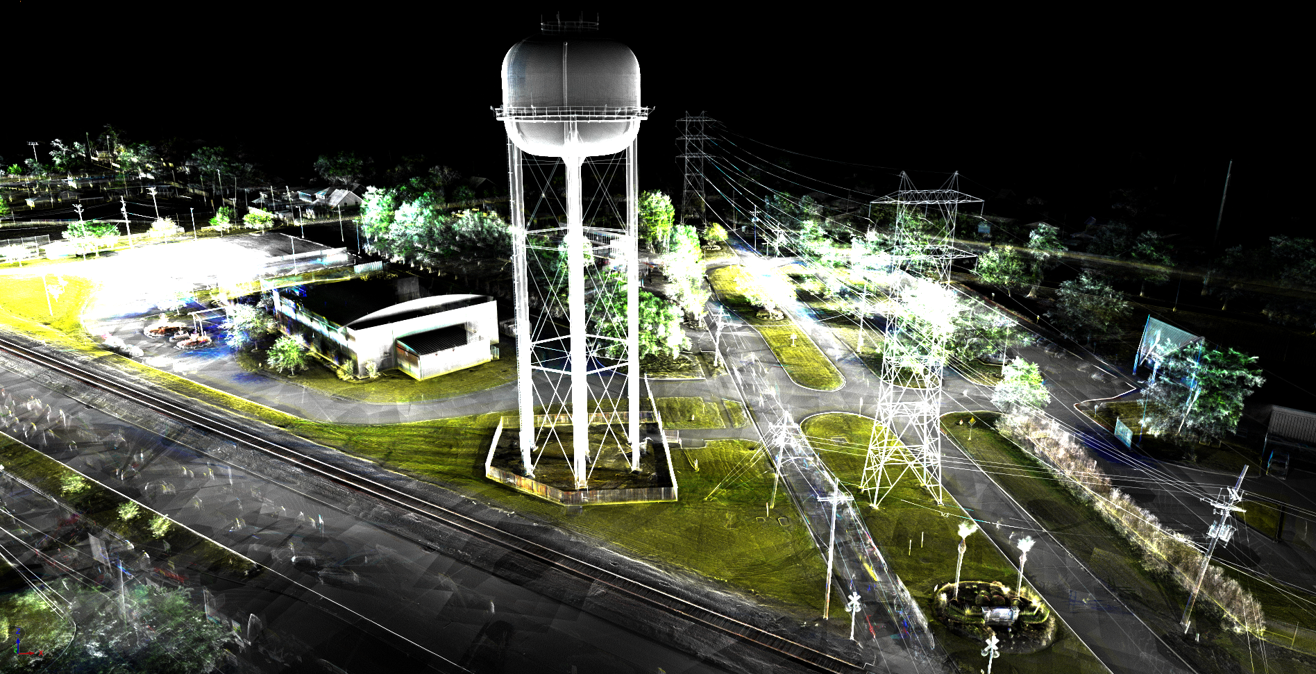
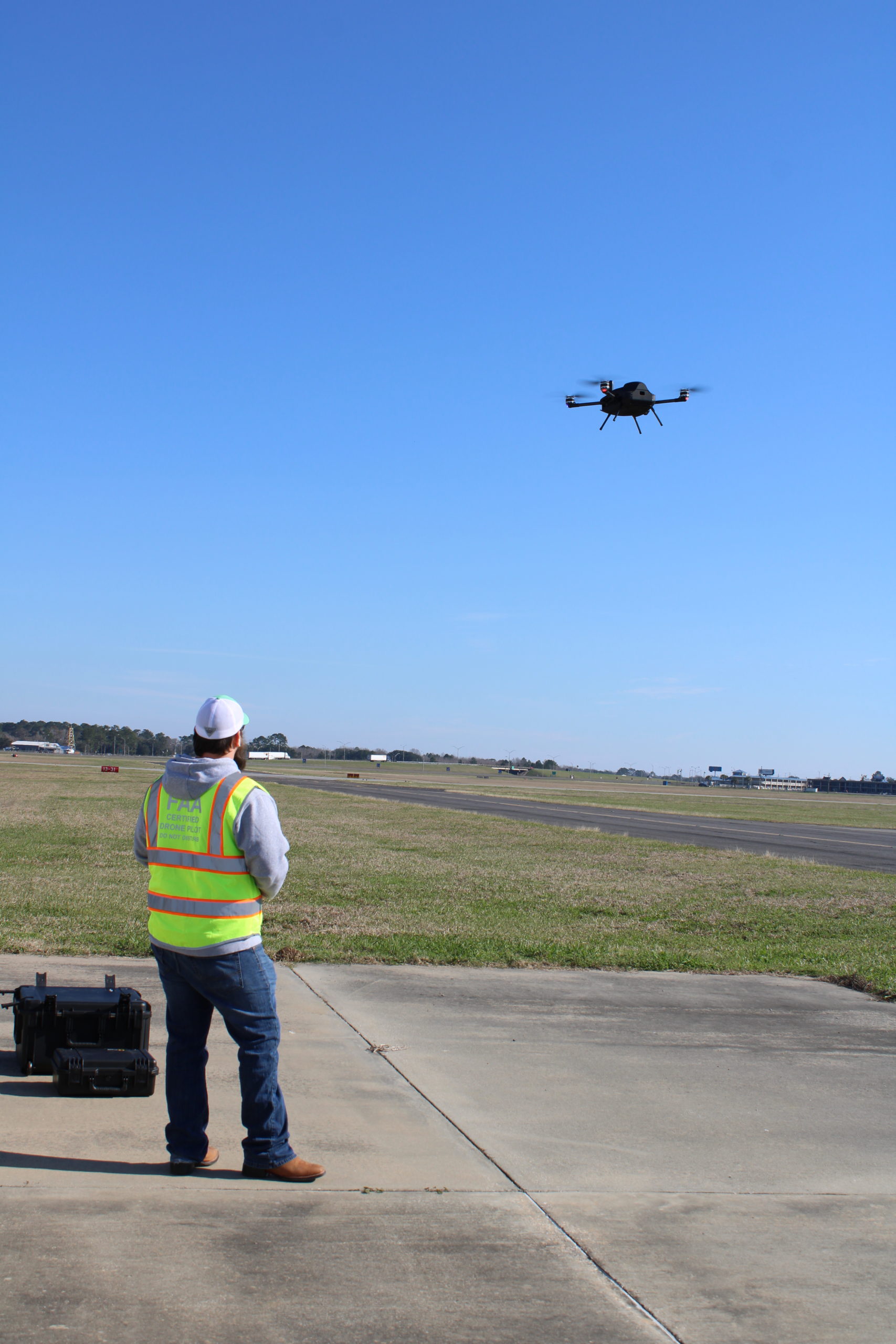
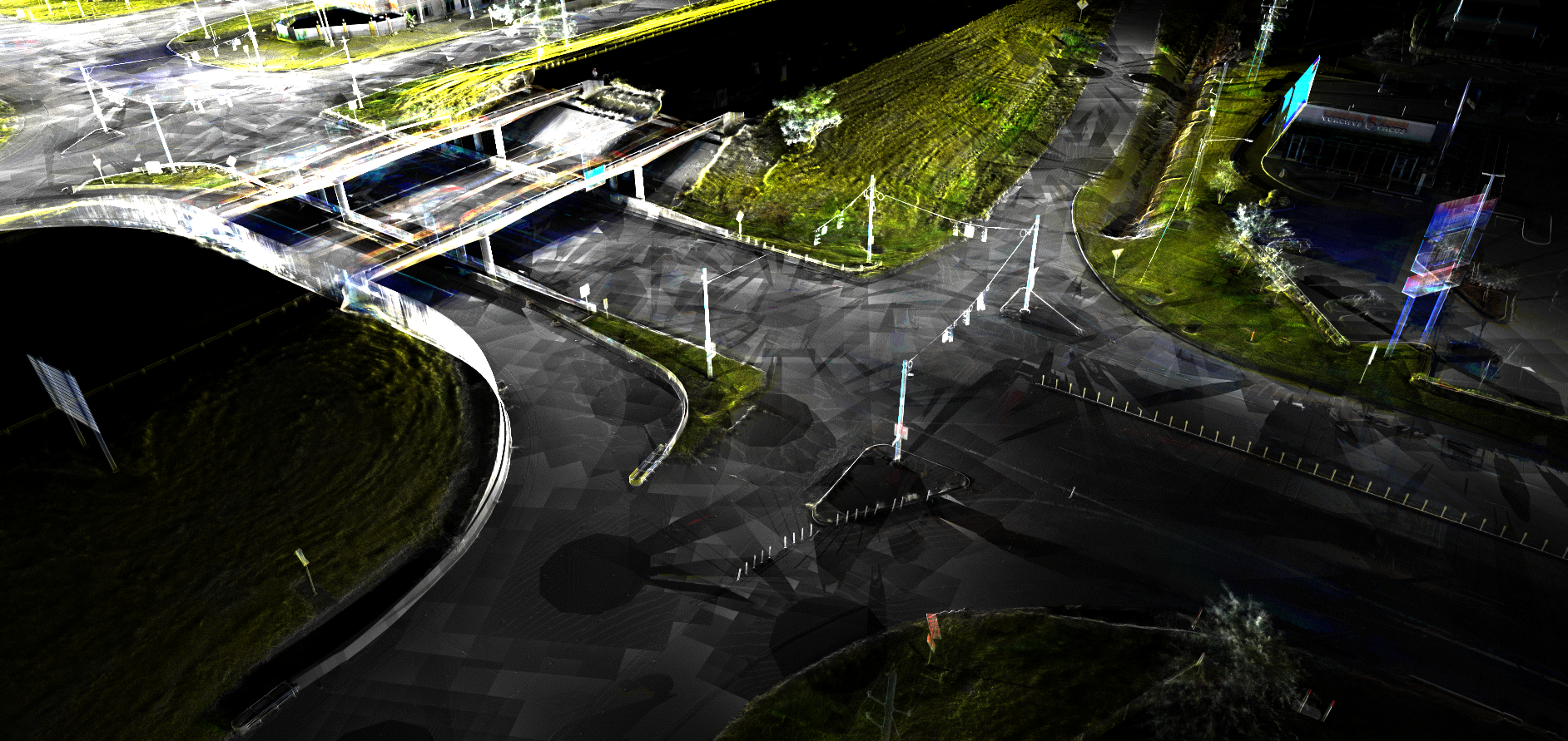
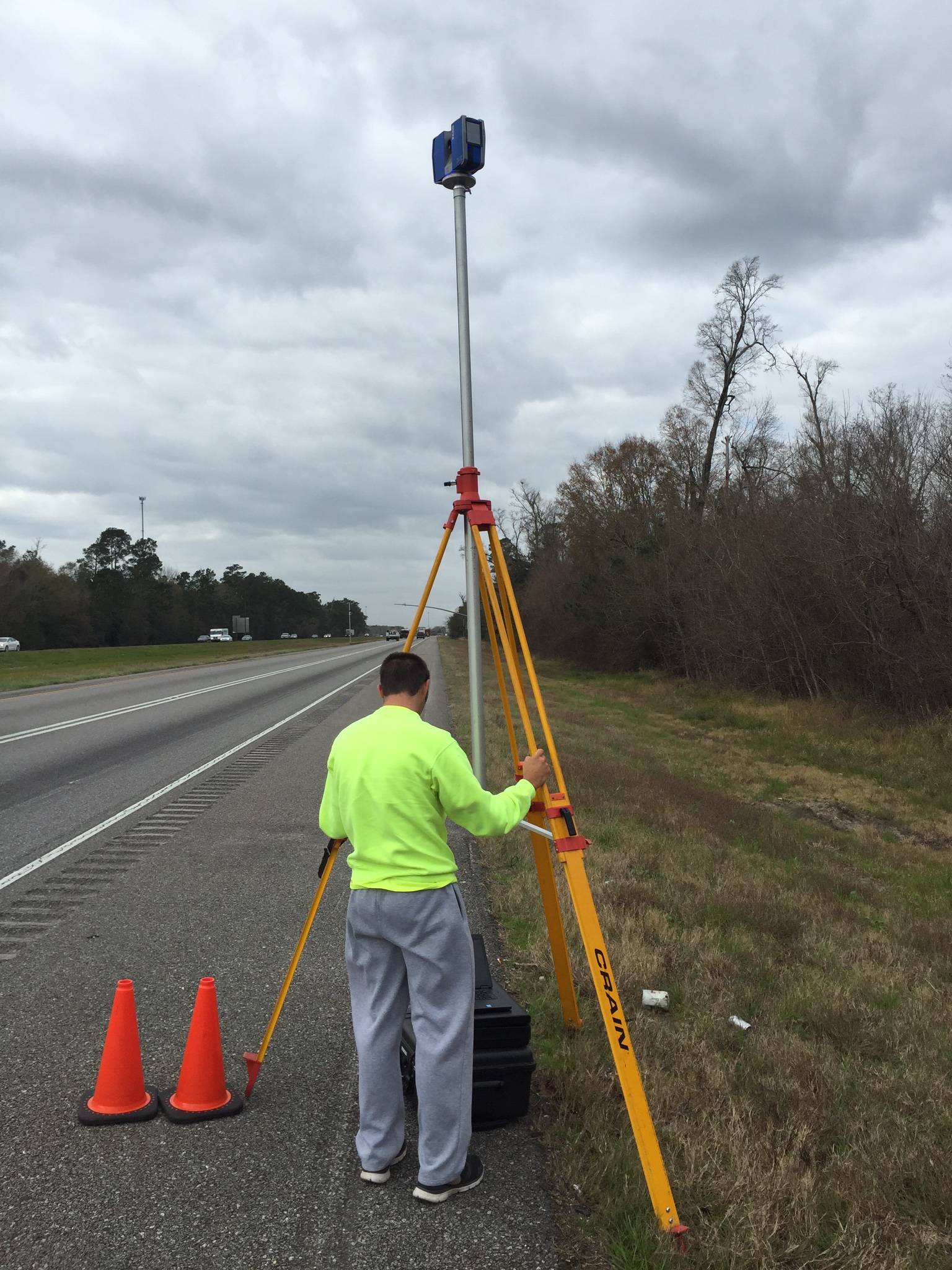
CD&C also offers Remote Sensing Technology such as Terrestrial 3D Scanning and Drone LiDAR services as part of our Survey Department. These Remote Sensing Technologies are often used in applications such as site topography, route surveys, pipelines, industrial applications, structural surveys, architectural design, and landscape architectural design, etc.


AREAS OF EXPERTISE
- ALTA/ACSM surveys
- As-Builts
- Boundary surveys and Subdivision Plats including Re-subs
- Construction Stake-out
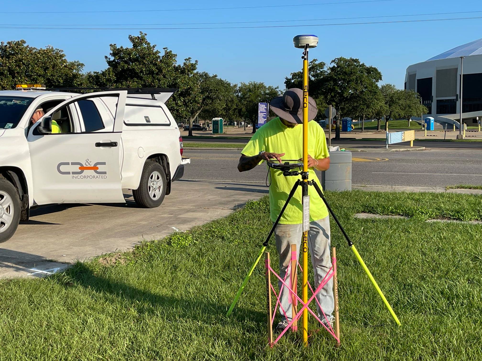
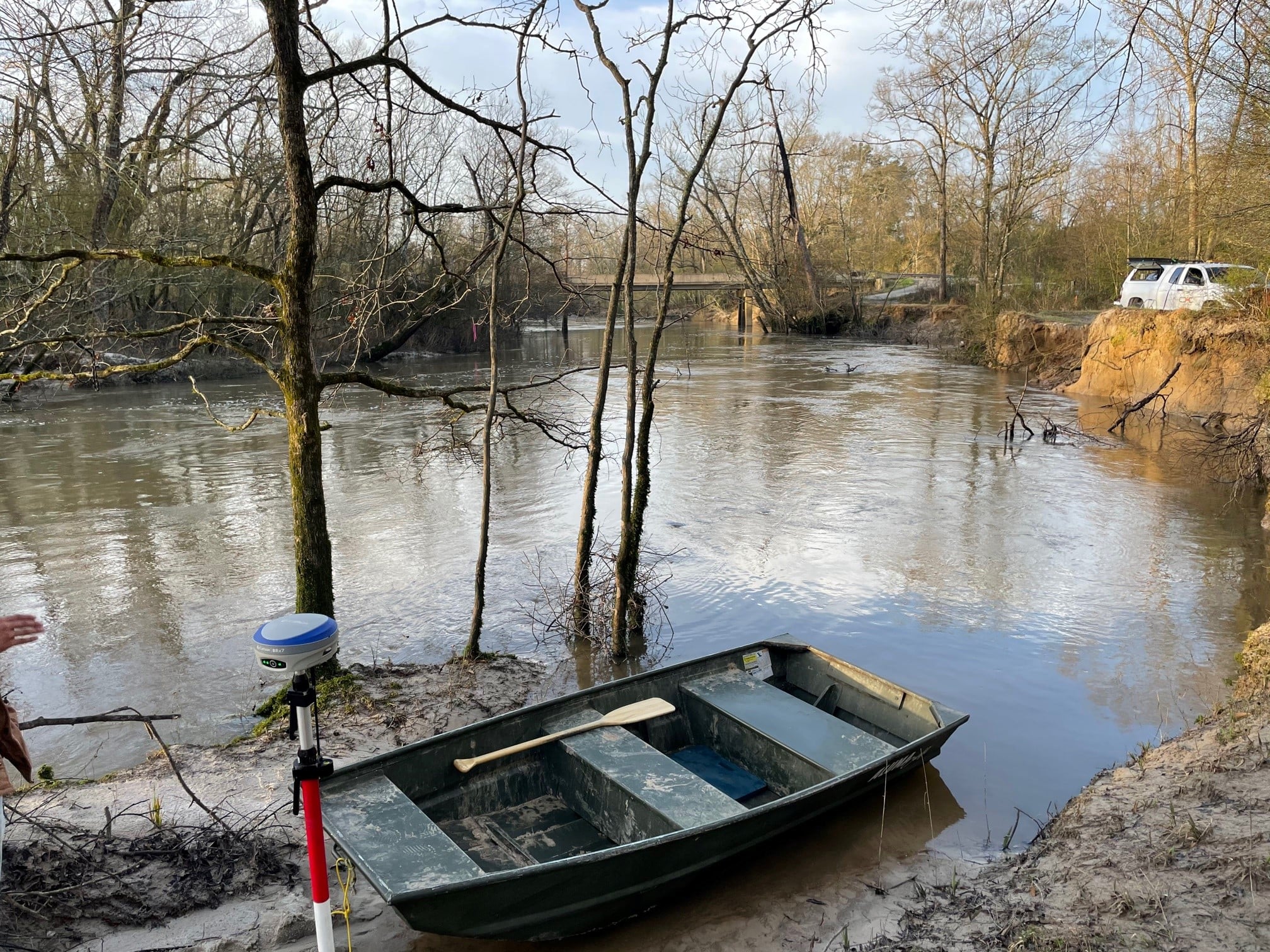
- Control surveys using GPS or conventional means
- Drone work
- FEMA Elevation Certificates
- Field Monitoring & Volume surveys
- GIS mapping support
- LOMA surveys
- No-Works Affidavits
- Residential Contractor Packages
- Right-Of-Way and Parcel mapping in association with these types of projects.
- Site surveys for residential or commercial developments
- Terrestrial 3D Scanning
- Topographical Municipal Route surveys for roadways, sewer lines, waterlines, hydraulic, and drainage projects


SEND US A MESSAGE
Have inquiries? Send us a message here.